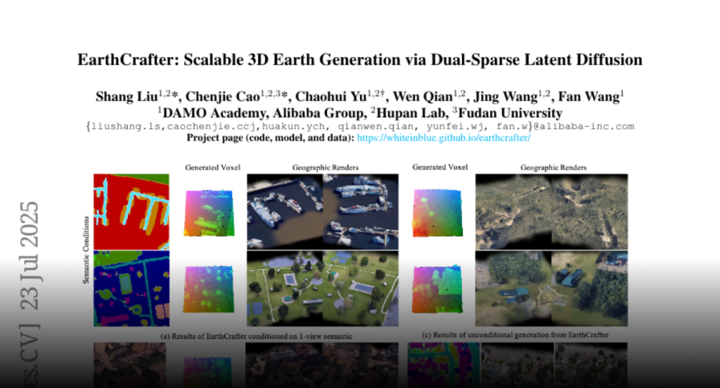
Despite the remarkable developments achieved by recent 3D generation works,
scaling these methods to geographic extents, such as modeling thousands of
square kilometers of Earth’s surface, remains an open challenge. We address
this through a dual innovation in data infrastructure and model architecture.
First, we introduce Aerial-Earth3D, the largest 3D aerial dataset to date,
consisting of 50k curated scenes (each measuring 600m x 600m) captured across
the U.S. mainland, comprising 45M multi-view Google Earth frames. Each scene
provides pose-annotated multi-view images, depth maps, normals, semantic
segmentation, and camera poses, with explicit quality control to ensure terrain
diversity. Building on this foundation, we propose EarthCrafter, a tailored
framework for large-scale 3D Earth generation via sparse-decoupled latent
diffusion. Our architecture separates structural and textural generation: 1)
Dual sparse 3D-VAEs compress high-resolution geometric voxels and textural 2D
Gaussian Splats (2DGS) into compact latent spaces, largely alleviating the
costly computation suffering from vast geographic scales while preserving
critical information. 2) We propose condition-aware flow matching models
trained on mixed inputs (semantics, images, or neither) to flexibly model
latent geometry and texture features independently. Extensive experiments
demonstrate that EarthCrafter performs substantially better in extremely
large-scale generation. The framework further supports versatile applications,
from semantic-guided urban layout generation to unconditional terrain
synthesis, while maintaining geographic plausibility through our rich data
priors from Aerial-Earth3D. Our project page is available at
https://whiteinblue.github.io/earthcrafter/

